Bitter Cold And More Snow In Outlooks
Page created on: 2025-01-06 10:11:27
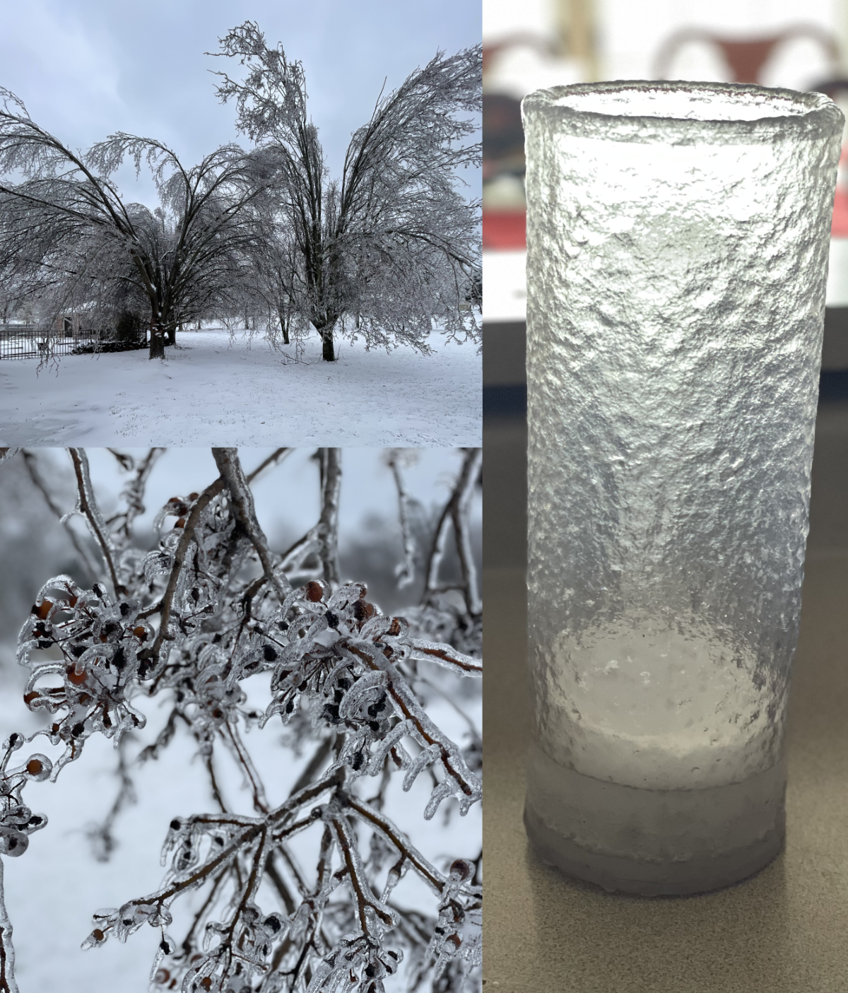
The rain gauge in the picture can tell some stories. The precipitation parfait in it includes ice pellets, frozen rain and a couple inches of snow. It is still melting but there is easily more than 1" of melt which was well projected by the models I discussed.
The tree images document what is a common site across this region. Only minor damage at my place but we were without power for a few hours overnight.
Looking ahead I am going to cite experience over science on one parameter. Storms like these produce colder temperatures than models project when the skies finally clear. Single digits have been in the charts for Thursday morning for many days but my call would be close to 0.
The warm up that follows will come with a little wave that currently is projected to produce 1-2" of snow Friday and/or Saturday. More on this during the next couple of days.
Think of your neighbors and friends that might be without power for extended periods during this extreme cold snap.