January Ends Dry - February Begins Wet
Page created on: 2025-01-25 05:23:17
Arctic influenced air is moving away from the region today and the strong NW flow that was associated will weaken during the next few days. In the process we will begin to feel the effects of a more SW flow coming from a source region that has built a small surplus of warmth.
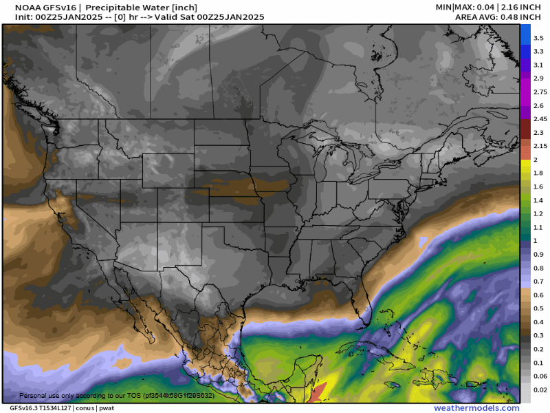
Animation presented looks at available moisture (water vapor). Relatively drier air is present for the last days of January suggesting little to no chance for precipitation. Aligned with the flipping of the calendar is a flipping of the flow. Available moisture bringing chances for precipitation appear on Feb 1 Feb 3 Feb 5 and Feb 8. While timing of waves might need adjustment, the concept of multiple rounds of precipitation (mostly rain with only small hints of brief winter mix) puts us in a place to be prepared for a rainy first week to 10 days of February. Extended range products suggest this type pattern is likely for the entire month of February with strong indications of a very wet month and weak indicators that there will be wintry weather in weeks 2 and-or 3.
Summary: the last 7 days of January will be mild and dry with only a very small chance of insignificant showers as systems move south of us. The first 8 days of February will see multiple waves of rain showers. One of the waves could bring heavy rain presenting a real chance of seeing more than a month's worth of rain in the first week. Wintry weather is not a large concern at this point during the period discussed.