Snow Numbers Increasing
Page created on: 2025-02-15 07:11:34
My go to model for winter precipitation has been increasing the approaching winter event for several updates now. There is never a guarantee that the trend will increase of even be the final solution but it is worth evaluating.
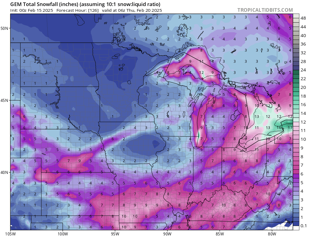
The map supplied is projected snow numbers from Saturday night through Wednesday. Temperatures are projected to be so cold that melting is not expected. What falls sticks and lays.
Saturday night snowfall (early Sunday morning technically) could produce 1 inch or so across the MWA-OWB region. Tuesday daylight projected to see 2 inches, likely in the afternoon. Tuesday night continues to see the biggest projections and Wednesday snow showers projected to add a little accumulation.
summary: snowfall Sunday Tuesday and Wednesday projected to produce inches of snow accumulation in the MWA-OWB region. Arctic air will drop temperatures well below normal into extreme cold values working to keep the snow and ice around for days.