Storm System To Affect Region Friday
Page created on: 2025-03-11 05:58:27
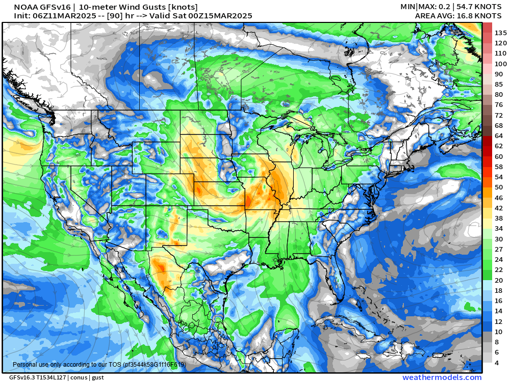
Any guidance source looked at presents a large low pressure system moving through the middle US late this week into the weekend (Mar13-Mar15) that will produce a variety of severe weather. Local severe storm risk exists but is a bit murky as traditional storm components are out of sync in projected arrival times.
Specifically I reference the lack of surface based CAPE locally. Low CAPE high shear storms can produce severe storms but it is harder to pinpoint and the most dangerous cells can seem random in location. There are better defined risks to our NW and SE through the cycle of the storm building, occluding and redeveloping. I see a scenario of more severe storms (intensity and count) to our north and south with smaller numbers locally. The strong diffluence signature stays with the low to the north and the moisture influence peaks south.
Ferocious winds and gusts are possible all day locally but projected to peak around sunset, 50mph non-thunderstorm winds possible. The bigger risk of storms with rain appear later in the evening.
summary: risk of organized severe storms including a risk of tornadoes is bigger away from MWA-OWB region Friday evening (Mar14) but the risk of isolated severe storms exists locally. Projection of strongest winds appears around sunset and highest chance of rain (storms) appears around 9pm. Awareness of storm risk recommended Friday afternoon through midnight.